
The recording of site species and wildlife is now in the realm of the public, RA’s (Recording Apps) are available to all.
Simple to use, with apps such as iNaturalist, using your smart phones camera, Ai and Location Services – findings are automatically recognised and recorded.
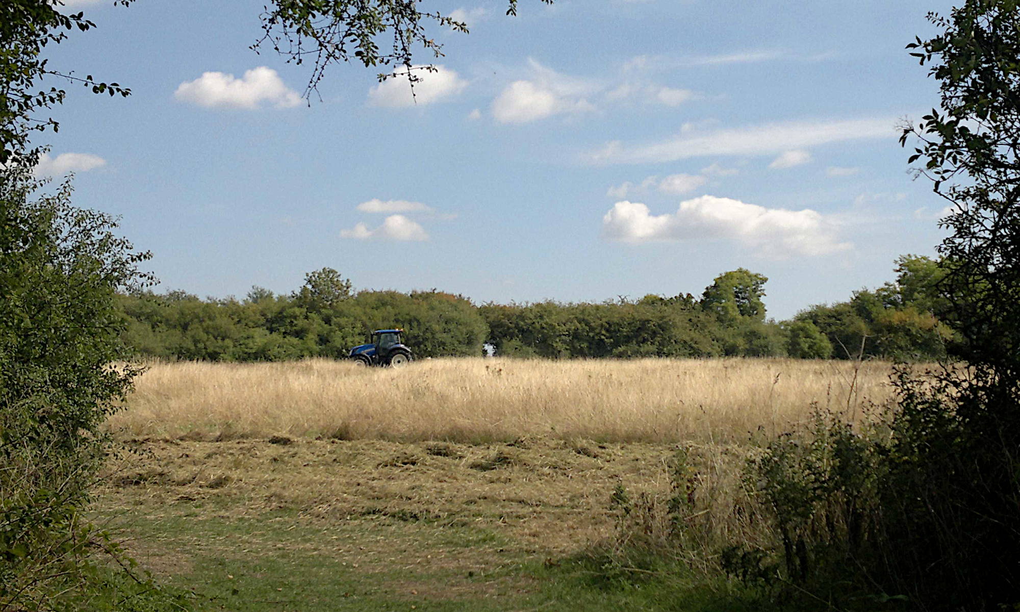
During the 8 year planning battle to save the fields, many residents sent in photographs of wildlife found on the site, but now with RAs, verified records that link to official databases can be created of such finds, and residents are able to record such findings.
Two recommended RAs being iNaturalist and iRecord:
Connect with Nature: Explore and share your observations from the natural world.
https://uk.inaturalist.org/
iNaturalist is generally preferred by newcomers to species recording as it has an ID suggestion for photos.
An iNaturalistUK ‘Project’ for the Copthall South Fields group has been created, named ‘CSFCG Nature Recording’, residents can join the group and add their findings:
https://uk.inaturalist.org/projects/csfcg-nature-recording
Short helpful video tutorials are available here:
https://help.inaturalist.org/en/support/solutions/folders/151000547795
IMPORTANT: To ensure that your records can be used by GiGL and its stakeholders, change your ‘Licencing’ settings to CC-BY (known as ‘open data’) or CC0 (known as ‘no copyright’), follow these simple steps, click image below:

To support research and decision-making at local and national levels for wildlife sightings
https://irecord.org.uk/
If you are slightly more confident then iRecord is a better option as the records will reach the GiGL (Greenspace Information for Greater London CIC) much more quickly and there are a number of verifiers who work on iRecord records but not iNaturalist.
iNaturalist records are shared to iRecord but only when there are 3 agreed ID suggestions (they’ve then reached Research Grade).
Butterfly Conservation recommend recording any butterfly finds on this App. particularly Brown Hairstreak, a protected species under the NERC Act (2006), recently found on the site.
https://www.hertsmiddx-butterflies.org.uk/news_archive.php?year=2024&month=12
GiGL (Greenspace Information for Greater London CIC)
The GiGL, the capital’s environmental records centre have written several articles on how these apps work, and explain how your findings can join the datasets used by organisations, including planners in decision making:
Recording Apps – GIGL
iNaturalist: Nature’s Social Network – GIGL:
Recording Apps: Let’s get specific – GIGL
UK Grid Reference Finder
This web page is helpful when recording the location of your find:
https://gridreferencefinder.com/
This link will take you to the top of the fields:
https://gridreferencefinder.com/#gr=TQ2254990917|Point_s_A|1
You can delete this reference (‘delete all points’ button – scroll down under the map, to the right).
To find your Map Reference, place your mouse on the location and ‘right click’.
© All logos and images Copyright of the owner